
And you can too!
If you’ve never played with Google Maps, you really should. Never mind actually using it for something useful, it’s kind of fun just to see what things look like from way up in the sky.
Like your neighborhood.
Or your workplace. Or your school. Or whatever the hell you feel like.
Playing with satellite images is fun!
In case you ever wondered where in Tokyo I live, this is the place:
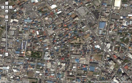
(My house is pretty much dead center in that pic, just to the left of the pointy end of that triangular park.)That’s the “zoomed in as far as you can get” version. You can use this link to open that map in Google Maps and step out bit by bit to see just where in Tokyo my place (in Shikahama) is. I like stepping back one click at a time until all of Japan is visible. Kind of a nice “Time Bandits” effect. I may have to capture all the steps and make an animated .GIF of that at some point. Maybe loop it zooming in and out as though it were some ultimate “bungie jump from space” or some such thing.
A bit big for a forum icon, but it’d look pretty sweet.